
Redata Design: Transforming Static Plans into Interactive Data Ecosystems

Design SVG maps, link real-time databases, and share smart visualizations with a single link.
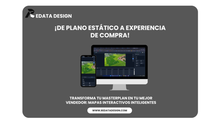
Imagine that your plans, maps, or diagrams ceased to be mere static images. Redata Design it is the ultimate tool for developers, real estate agencies, and project managers who need visual context for your data.
We're not just a vector editor; we're the bridge between your design and your critical information.
¿Qué puedes hacer con Redata Design?
1. Interactive Zone Editor (Enhanced SVG) Forget about dead images. Import or create your own SVG plans and define interactive zones (lots, seats, shelves, regions). Each stroke becomes an intelligent object capable of reacting to the user.
2. Tabular Database with Functions Behind every map, there is a powerful integrated data table.
- Integrated data table Assign prices, statuses (sold/available), dimensions, or owners directly to each zone.
- Dynamic Functions: It runs automatic calculations and conditional logic directly on the platform. If you change data in the table, the map updates visually instantly.
3. Public Links and Shareability Break down access barriers. Generate public links Securely share your interactive maps with clients or embed them on external websites. No complex installation required, accessible from any browser.
Use Cases
- Real Estate and Real Estate Developments: It displays master plans of gated communities where customers can see the availability of lots in real time by clicking on the map.
- Event Management: Seating plans for theaters or conferences linked to the ticket database.
- Logistics and Warehouses: Visualization of stock by zones in an interactive floor plan.
Technical Section
- Technology: High-performance native SVG rendering.
- Integration: API Friendly and flexible data export.
- UX/UI: Intuitive “No-Code” interface for data management, with “Pro-Code” power for customization.